
 We found it ! The restaurant in the clouds on the drive off Cabrillo Hwy. Tom had spotted the eatery perched on a Big Sur cliffside once, now we know its name - Nepenthe restaurant. We had to dash to the airport thus only stopped to look in but the clouds on this day was totally blanketting any views ... we'll save this for a next trip indeed ;)
Having a couple of days alone, we decided to rent an electric bike - great way to get around the 17 miles of the pebble beach shores and took us in no time back to the Pacific Grove hub where we enjoyed a second seafood medley in Scales again ..yum!


These brilliant pink carpet of 'iceplant' blossoms were ubiquitous along the recreation trail of Pacific Grove


This view never gets old. It's our third visit to the Lone Cypress (pr.1986, 2008)


'Restabit Fortis Arare Placeto Restat' - latin trademark motto of this graciously appointed Inn. Site of the original home of senator Edward and his wife Bess Tickle, a great lover of flowers, esp the pink ones...


overlooking the famous Big Sur coastline...

This romantic inn with a memorable view & name on the Carmel highlands was


the perfect pamper to end our california trip which started out in Yosemite.


Perfect spot to lunch on the patio of Rocky Point - great way to cap off Mother's day ! Only missing our Ashton back in TO :(


known for its 7.1miles loop trail, a winding angular outcrop of Carmel-by-the-sea. It has recreational scuba diving within the protected coves where a moderate stroll may uncover some marine wildlife amidst the waves lapping onto the rocky shorelines


 Jon able to spot a whale way off in the distance :-)


A gorgeous sunshine greeted us Sunday morning & we set our sights on a pre-lunch hike around Point Lobos. Parking could get hectic thus we opted to do it prenoon and were able to snatch a space off roadside shoulder & walked in the preserve. The trail is quite moderate, you'll spot many sea lions

An opalescent sky to linger over as we looked for whales /sea otters


 Treated to dinner preparations a la chef Cy & Jon in the kitchen of Airbnb home, we were able to take at our leisure the beauty of the coastline at sundown


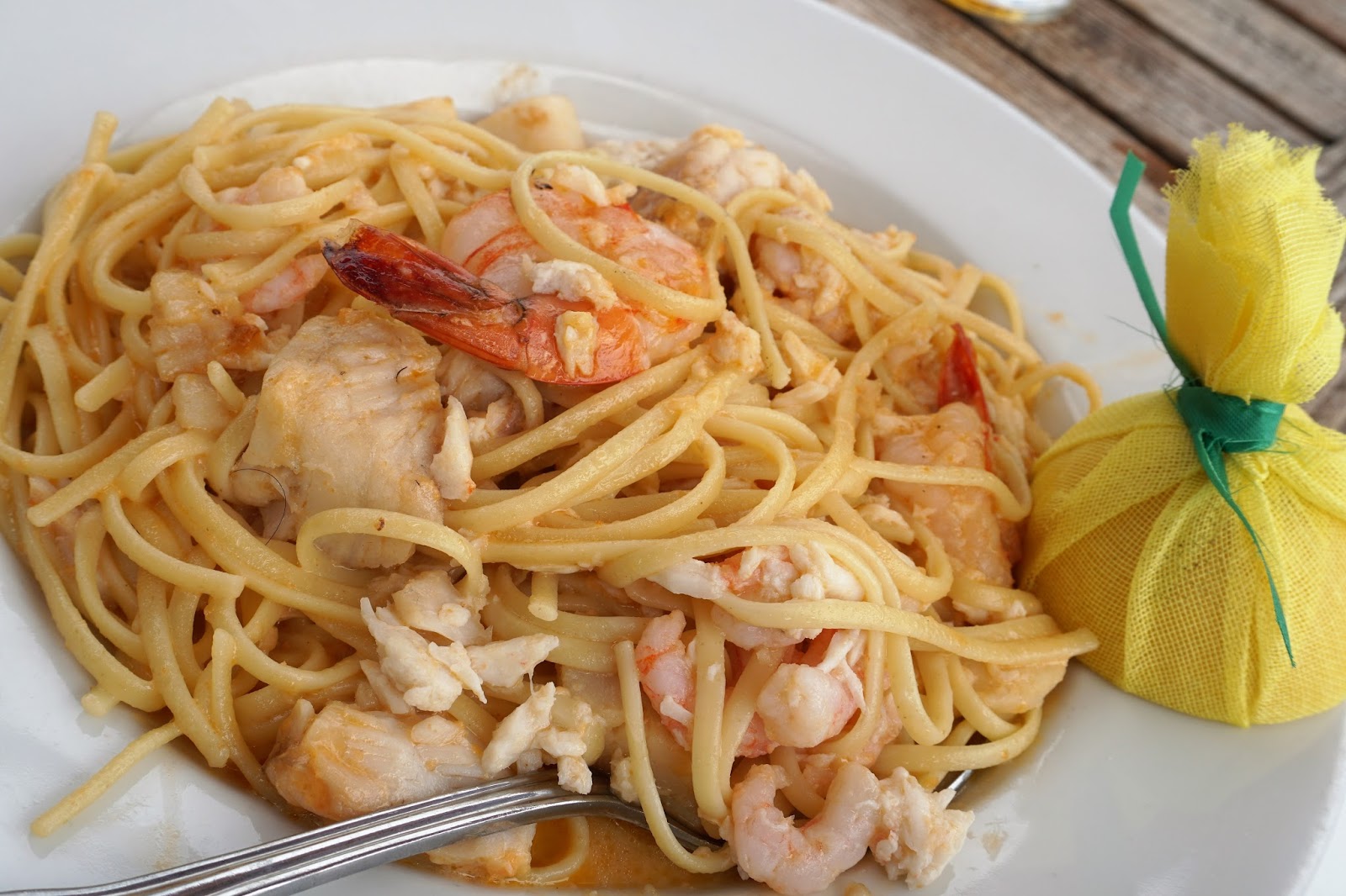
 After sampling half a dozen clam chowders along historic fisherman's wharf, we settled on Scales for lunch with a view of the marina. I tried a new cocktail - spicy jalapeno martini - kinda good if you like bitters which I do prefer to sugary drinks

just one of several fab homes w/dream oceanfront views as we strolled boulevard towards Monterey


 At our first night, dinner out with the daughter & SO - nice foursome seating @ conservatory - Sardine Factory

So Cy initiated us into their world of 'sharing economy' and used Airbnb to find a cheerful home in Pacific Grove. Other than the exorbitant cleaning fees ( ahha, there's the rub ) the upside of having a whole house does have its appeal :-)

'Las Mariposa' was founded by Gabriel Moraga in a Spanish expedition in the early 1800's ..thus named for the incredible amount of insects they encountered. The First American to make a mark on the town was John Fremont, soldier, explorer and later presidential candidate. The discovery of gold after his purchase of worthless land over 100 miles from the nearest settlement & still inhabited by Indians, proved to be a stroke of luck as the Rancho Las Mairposas turned out to be at the southern end of the mother lode for gold diggers.
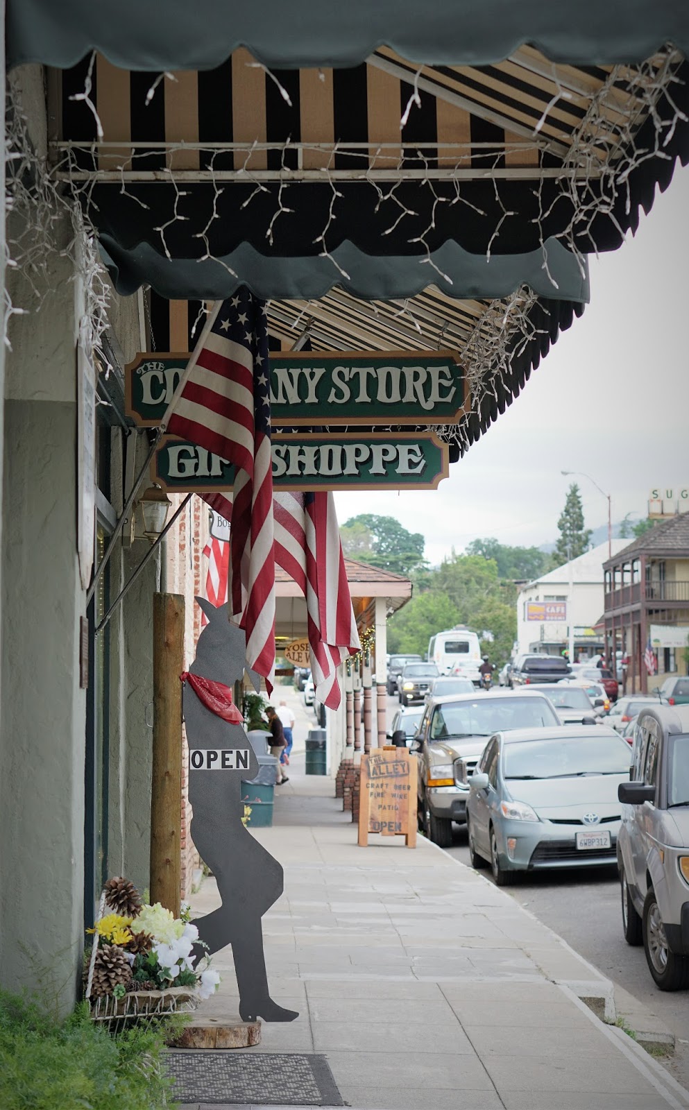


The weather was turning about midway thru our stay at Yosemite. While the rains were still being staved off by the clouds, we took a 40 min drive to nearby gold rush town of Mariposa, first settled in 1894 ('butterfly" in spanish). Took in a nice meal @ Charles St. Diner, reflective of old prospector's charm & texted with Cy to find alternative meetup for our Fri-Sun weekend. No point for the kids to drive 3hrs to and fro for 3 days plagued with rain soaked days, we wanted to get ahead of the weekenders to find a suitable spot nearby our next destination, Carmel.


 A segment of wet rocks just before waterfall. .. it was great fun.
 The Mist Trail is aptly named. Touted as Yosemite's signature hike...we were in agreement as rainbows popped in and out of our views as we got pretty intensely sprayed by the rock-star waterfalls


Just stopping enough to catch our breath and awesome views of the canyon like paths we just traversed, its onwards & upwards to the very top of Vernal Falls & Clark Point. Large segments of the hike was moderate but no doubt there were strenuous portions which yielded the more thrilling and memorable vistas


 Pretty mini cascading ripples as we passed the last leg & the spectacular shear rockfell glistening in the daylight
We finally arrived at the top of Nevada Falls! Here we are, a couple of specks on the slab of rock home to the source of the distance waterfall, as I mentally conjured up what we must look like if viewed (birdeye) from our first day's appreciation of this wild expanse on the top of Glacier Point


 Yippie!!
We made it - top of Nevada Falls, we found it sparsely populated...not many hikers here


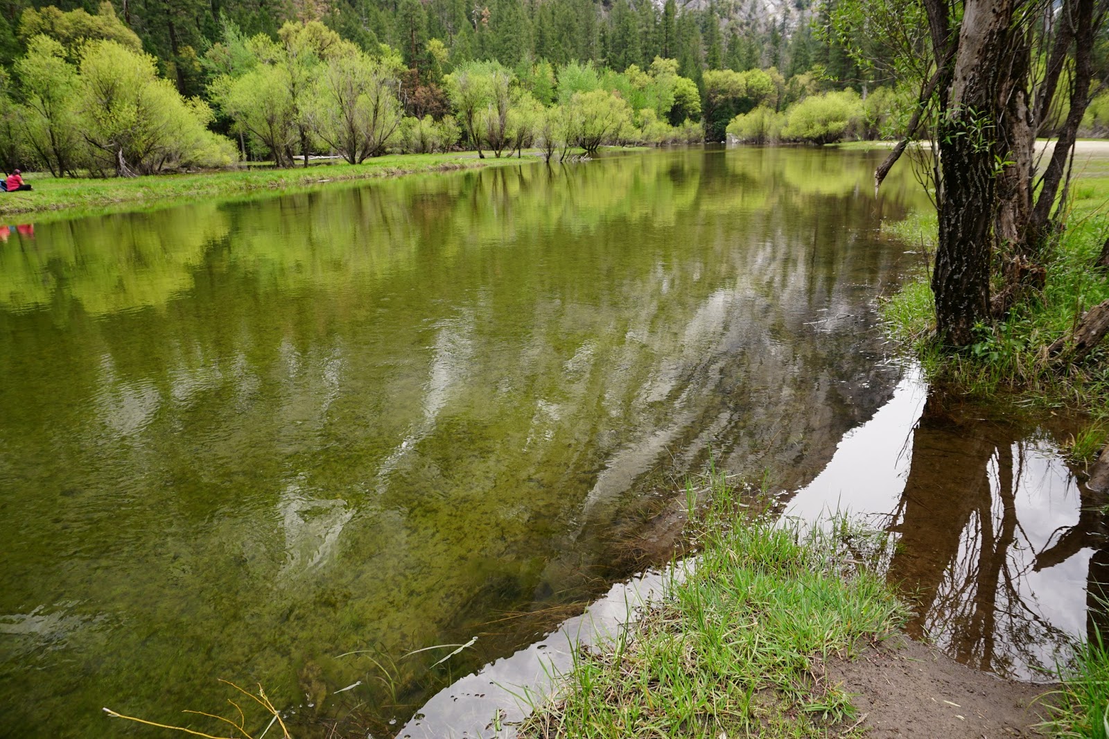
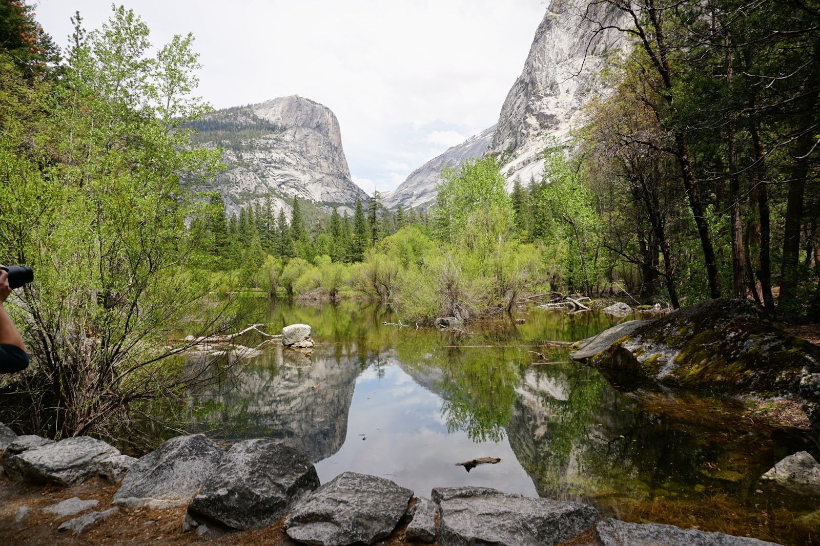
Mirror lake is a small seasonal pool of remnant from the large glacial lake that once filled most of Yosemite valley from the last ice age. I wondered if the pool would last to see the height of the summer months


Nice way to enjoy the warm weather Yosemite was offering up along with sufficient spring flows to allow for a bit of swim and splash


View of El Capitan, the largest granite block in the whole wide world. Then, diagonally opposite to it, the purity of Bridalveil falls (below)


 Yosemite falls is one of the tallest waterfalls in North America, with a drop of 2,425ft. To the right, white flowering dogwood trees dotted the landscapes of Yosemite
 At even later hour of the day, as hikers petered out, we grasped a full view of the gorgeous spring thaw of upper and lower Yosemite falls connected by a middle cascade.


 Great 360 degrees views of the mountain tops of Yosemite gave us a keen appetite for the lunch we brought along for the hike. Sitting on the stone slabs along with squirrels and crows, we scarfed down our sandwich and salads as the winds howled against the solitary pine


This year happens to be the 100 anniversary of the US National Park Service & a great job they are doing. Did you know that there are 840 miles of hiking trails they continuously oversee and maintain? After fully appreciating the depth and breadth of the view from Glacier point, we took off for a hike to Sentinel Dome through stretches of snowfields. It's elevation @ 2,476m (7,700ft) is slightly below Half Dome @ 2,694m but since that trail typically does not open til June, this one became our highlight destination of the day.


 Ppl were climbing over the barriers to stand at the tip of the jutting rock for photos. Tom, too nervous to let me go any farther up, so I settled for pic by neck of the rock alligator


Haha.. let's kick half dome clear across the state ;)


 Day 1: To start off our foray into this ginormous park of about 750,000 acres, we decided to take a drive high up into Glacier Point for an overview of the entire valley. At an elevation of 7,200 ft, it did give us a great birds eye perspective of what nature can dish out.
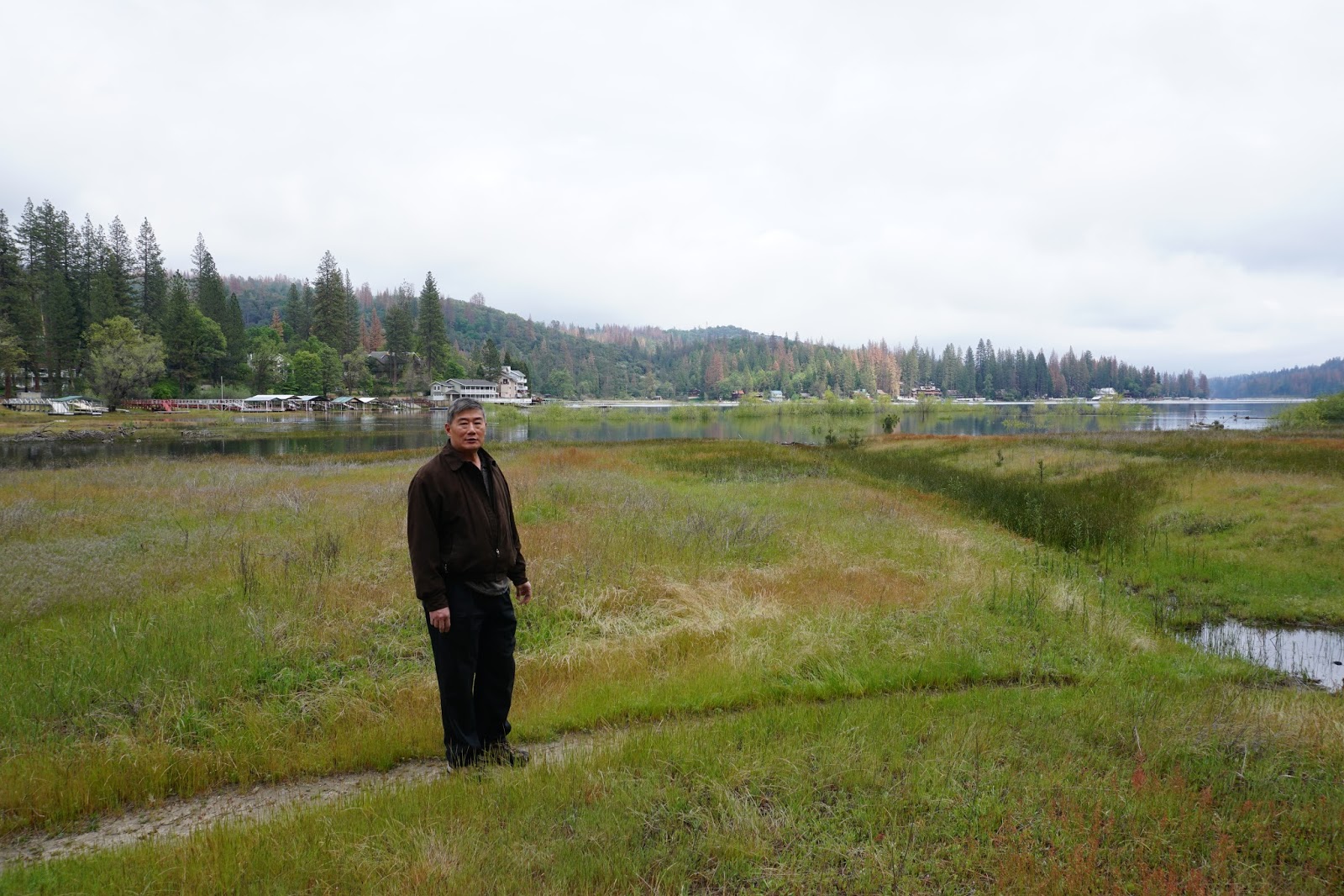
Just before our trip, we upgraded our sony nex5 for the newer generation of mirrorless DSLR - A6300. Got my first prime lens (50mm f1.8) to play with. Given the sony crop, the zoom basically goes 75-150. Pretty handy to capture some closeups of the swampy banks without getting my feet wet. Below untouched 6 shots contrasts with the earlier steely bluish rendition of the kit lens


California bound again. Given our daughter's relocation to the sunny silicone valley hub, we've taken to plan annual vacations to tour this vast US state which on last look had 6th largest economy in the world. It's GDP larger than Russia and equates countries such as France! In terms of places to visit, there is no shortage. We have only last year begun in earnest to explore this well endowed state. First order of business was to check in with our offspring for an eyewitness account of how millennial professionals cope with the sky high cost of living in this townie enclave of a town (Palo Alto). Spending a few days in Garden Court Hotel, within walking distance to their 3-4 person shared condo, we took in the charming European flavored courtyard and had morning coffees on the narrowest strip of french styled balcony I've ever encountered.


